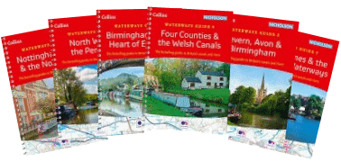
Nicholson Guides to the Waterways
(Kindle versions may also be available - follow links.)
• Nicholson
Guide to the Waterways (1): Grand Union, Oxford & The South East
• Nicholson
Guide to the Waterways (2): Severn, Avon & Birmingham
• Nicholson
Guide to the Waterways (3): Birmingham & the Heart of England
• Nicholson
Guide to the Waterways (4): Four Counties & the Welsh Canals
• Nicholson
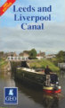
Guide to the Waterways (5): North West and the Pennines
including Rochdale, Huddersfield, Bridgewater, Macclesfield, Ashton, Peak Forest, Leeds & Liverpool Canal and Lancaster Canals,
Ribble Link, Calder& Hebble Navigation, Aire & Calder Navigation west of Castleford and Trent & Mersey Canal north of Harecastle.• Nicholson Guide to the Waterways (6): Nottingham, York & the North East including Calder& Hebble Navigation, Aire & Calder Navigation, Ripon, York, Selby, Pocklington, Chesterfield, River Trent.
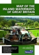
• Nicholson Guide to the Waterways (7): River Thames & the Southern Waterways • Nicholson Guide to the Waterways (8): Norfolk Broads • Nicholson Ordnance Survey Inland Waterways Map of Great Britain Map showing position of locks, tunnels, access roads, boat hire bases and waterways-related visitor attractions. Includes: distance markers between major junctions; inset maps of Norfolk Broads, Birmingham Canal Navigations, London area, Caledonian, Crinan, Forth & Clyde and Union Canals. Maximum craft dimensions shown. 2020 edition.
Includes Wigan, Leeds, Castleford, Sowerby Bridge, Selby. Detailed, informative and entertaining guide to the waterways. 2015 edition.
Historical
Map of the Canals of North Staffordshire
plus delivery
Shows Trent and Mersey from
Wheelock to Great Haywood, the Caldon, Uttoxeter and Newcastle Canals.
Also shows connecting tramways.
Historical
map of the London Canals
plus delivery
Shows Thames from Wandsworth to
Barking and other waterways from Slough and Uxbridge to Hertford and
Croydon.