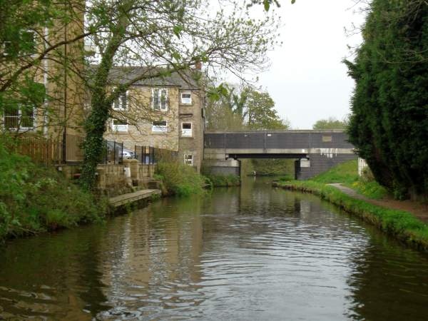
Holehouse Fold Bridge carries the main road into Romiley across the canal. The name appears to be a corruption of Oldhouse Fold, which appears on earlier maps.
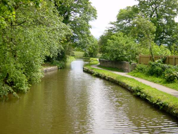
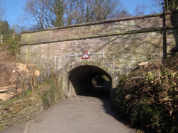
Further ahead, the canal narrows to cross the Hatherlow Aqueduct over Green Lane, before swinging sharply to the left.
Hatherlow Aqueduct from Green Lane.
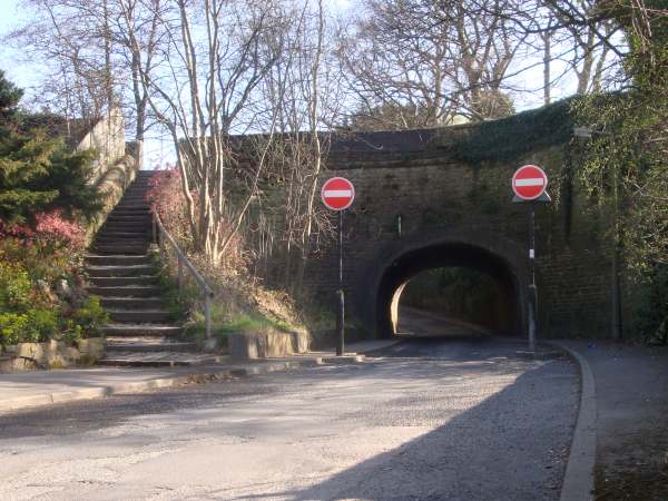
The canal enters a very pleasant wooded section and crosses an aqueduct giving road access to a small hamlet having the name of Burymewick which, unsettlingly, means "bury me alive"! The road continues a short way to the Chadkirk Estate, well worth a detour for the towpath walker, with its restored 14th century St Chad's Chapel, walled garden, flower meadow and woodland. Entry is free and refreshments are available at the chapel..
Burymewick Aqueduct from Chadkirk Road.

There is a steep embankment to the right.
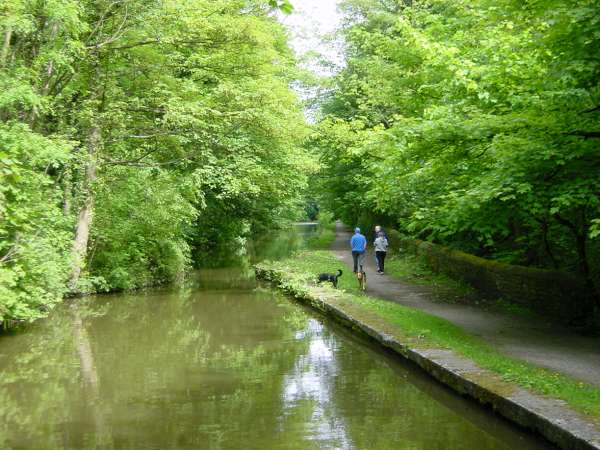
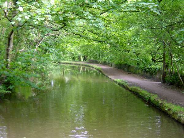
The wooded section continues, with the wooded valley to the right, for half a mile towards Oakwood Mills.
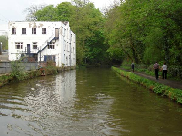
Oakwood Mills stand on the offside of the canal.
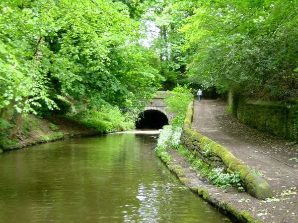
The canal soon reaches the Hyde Bank tunnel, 924 feet (300 metres) long and unusually wide, but with no towpath.
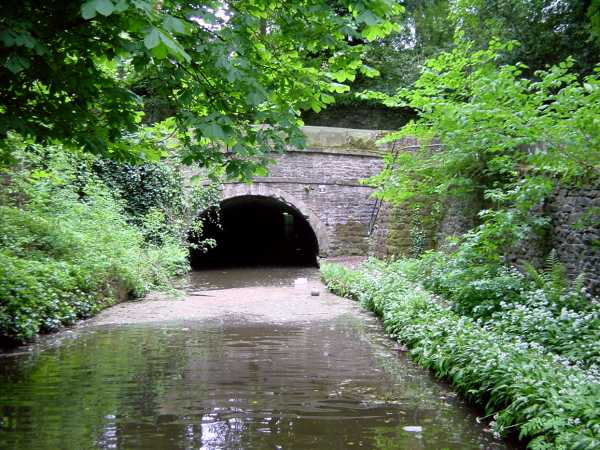
The portal of Hyde Bank tunnel, with daylight visible at the far end.