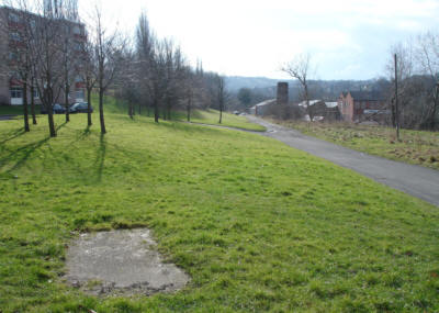
Looking south from Leeds Road along the infilled canal route. The factory on the right is the site of a former corn mill
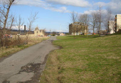
Looking back to Leeds Road. The gable end of the Pumping Station can be seen in the centre of the picture.
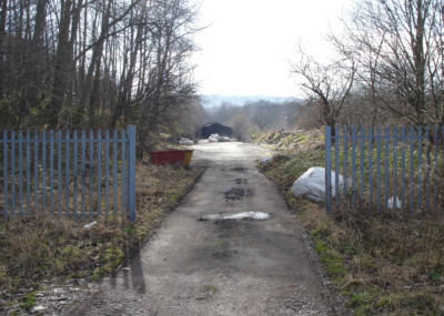
A works shed and yard occupy part of the canal line, but it is possible to walk through the site.
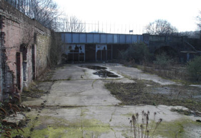
The remains of a building constructed on the canal line. The infilled bridge carried the B6149 Briggate over the canal.
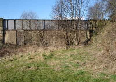
The B6149 bridge from the south.
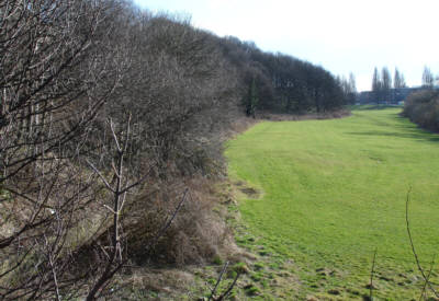
Looking south from the bridge. The canal ran along the left, next to the wooded slope. The rise in ground level in the foreground shows the site of Pricking Locks, a two-rise staircase. Pricking Mill was to the right, between the canal and the river.
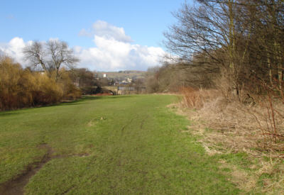
Looking back to the site of Pricking Locks and the B6149 bridge.
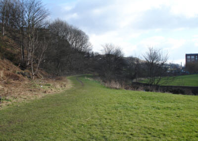
The canal route curved around the narrow apace between the river (Bradford Beck) and the steep hillside.