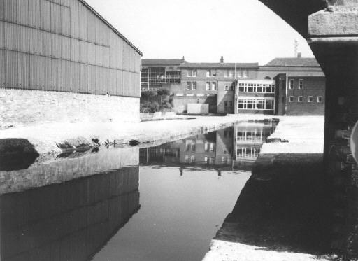
The Staffordshire Arm, Castlefield, looking north towards Liverpool Road. A building straddles the left hand finger of the arm. Originally, both fingers were straddled by a warehouse.
Photo: Mike Dilger Collection
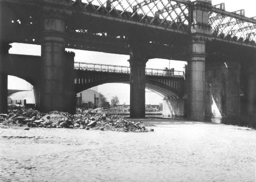
Castlefield, looking south-west towards the Bridgewater Canal, with the Staffordshire Arm coming in from the right. This photo may have been taken while the area was being renovated.
Photo: Mike Dilger Collection
Barton Aqueduct. Along the left hand side can be seen the raised towpath walkway for boat horses.
Photo: Mike Dilger Collection
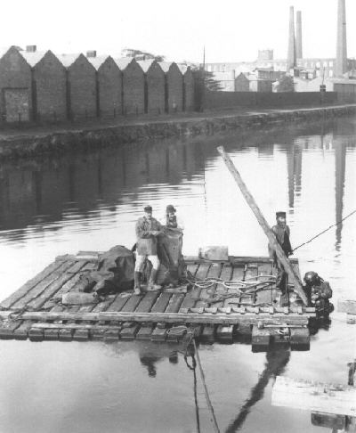
Diver working from a raft, believed to be on the Bridgewater Canal, location uncertain.
Photo: Mike Dilger Collection
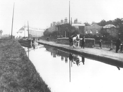
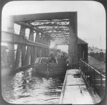
Two horses working in tandem to pull this pair of boats over what looks like a small aqueduct. The location is unknown - suggestions welcome!
Photo: Mike Dilger Collection
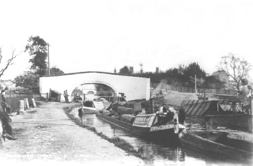
This picture is part of the same collection and bears the words "Weaver Canal" and "Ellesmere". A canal linking the Bridgewater Locks at Runcorn with the River Weaver may have been known as the Weaver Canal but the construction of the ship canal has changed the area completely. However, the photo is believed to have been taken between Christleton and Waverton on the Shropshire Union Canal (formerly the Ellesmere Canal), although this had no connection to the River Weaver. The boats belonged to the Shropshire Union Railways and Canal Company and the boat in the centre is called Warrior.
Photo: Mike Dilger Collection